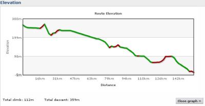
The elevation chart makes it look like 155 km mostly downhill, so it will be a fairly flat run.
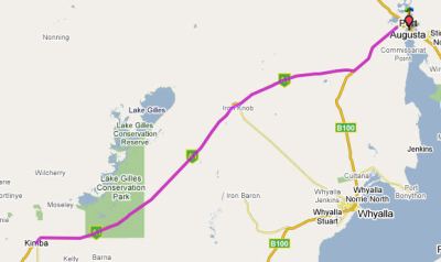
At 155.2 kms passing through Iron Knob to Port Augusta, it will start to feel like were hitting civilisation.
Click map for full details
Elevation Profile


{ 0 comments… add one now }
You must log in to post a comment.